 Satellite NatureScape
See Your Property From Above, Fully Restored
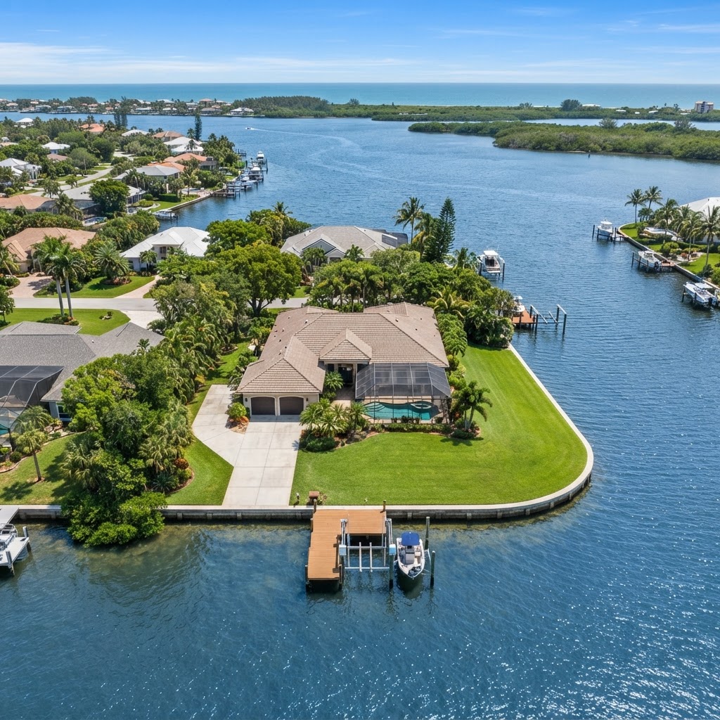
Enter your address and we'll look up your property on satellite, then generate a complete aerial conservation guide showing every improvement option available — with numbered callouts so you can see exactly where each one goes.
Why a Satellite View?
A bird's-eye view reveals exactly where rainwater flows and where every conservation upgrade belongs.
See your property from above
Every improvement mapped
Numbered callouts for each fix
Cleaner water runoff
Native habitat & pollinators
Stormwater management
Example Concept
See What You'll Get
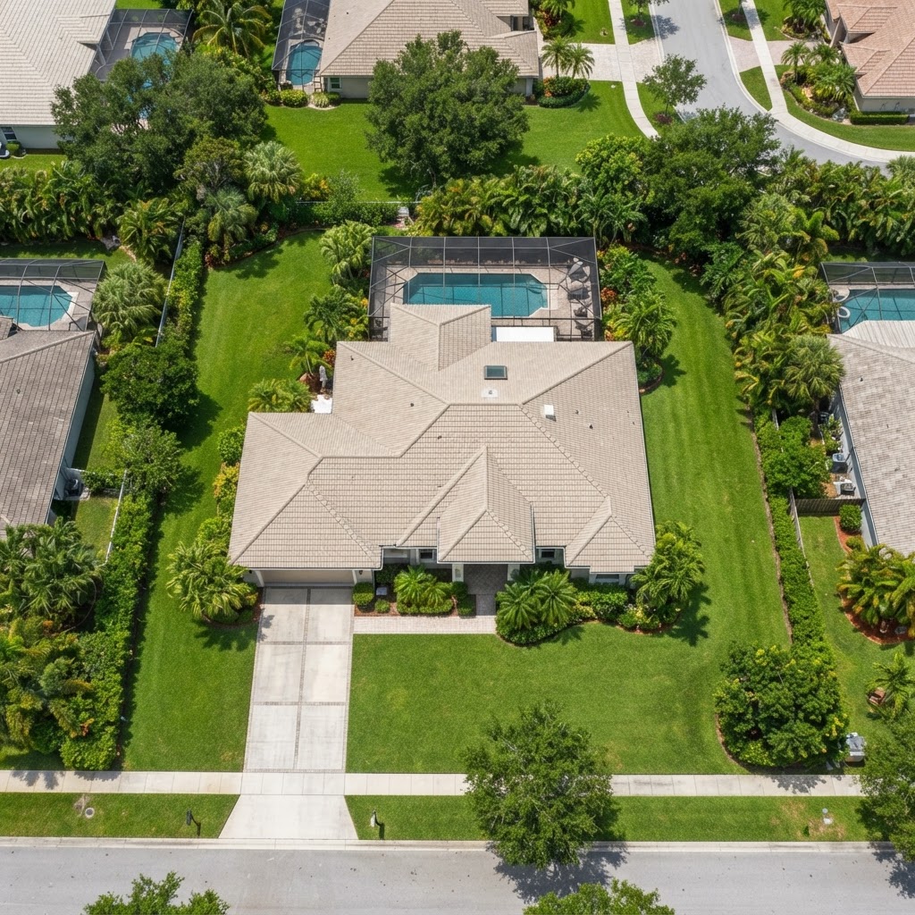
Drag the slider to preview a real before & after transformation.
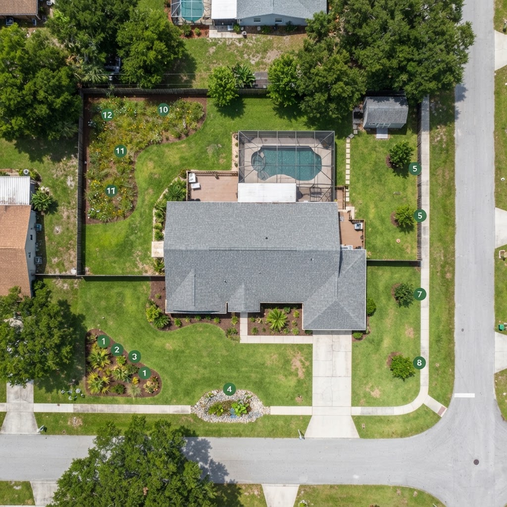
Before
After
⟨⟩
What's Included
- Aerial satellite view of your property
- Numbered callouts for each improvement
- Before & after visualization
- Complete conservation guide breakdown
- Materials & methods breakdown
- Free guide emailed to you